
Things to do in Urgup
Not Just Any Hotel – Only the Best Things to do in Urgup, Selected for You!

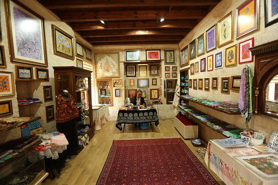
Kapadokya Ebru Sanat Evi
Duration: 2-3 hours.
Free. Workshops may have a fee.

Cappadocia Art and History Museum
Duration: 1-2 hours.
Free.

Keslik Manastir
Duration: 1.5 to 2 hours.
Free. Donations are appreciated for maintenance.

Ayios Vasilios Church
Duration: 1–2 hours.
Free.

Konstantin
Duration: 1 to 2 hours.
Free. Donations are appreciated for maintenance.
Dutlu Cami
Duration: About 1 hour.
Free. Donations are appreciated for maintenance.
Urgup Museum
Duration: Approximately 1-2 hours.
Free. Some special exhibitions may require a paid ticket.
merkez yahya efendi camii
Duration: Approximately 1 hour.
Free. Donations for maintenance are welcomed.
Duayeri Cami
Duration: About 1 to 2 hours.
Free entry for all visitors.
Sagir Mescid Camii
Duration: 1–2 hours.
Free admission. Donations are welcomed.
Arpacizade Cami
Duration: 1 hour.
Free. Donations welcomed for maintenance.
Sarica Kilise
Duration: Approximately 1 hour.
Free. However, donations are appreciated for maintenance.
Cemil Kilisesi
Duration: Approximately 1 hour.
Free. No entry fee required.


Asmali Konak
Duration: approx. 1 hour
Free
Three Beauties
Duration: approx. 1-2 hours
Free


Twin Fairy Chimneys
Duration: approx. 1-2 hours
Free
Aya Nikola Manastiri
Duration: approx. 1-2 hours
Free

Peri Bacalari
Duration: approx. 1-2 hours
Free